|
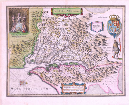
Nova Virginae Tabula
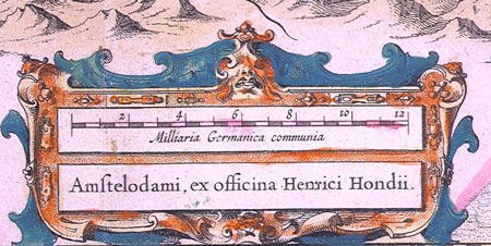
Hendricus Hondius
Circa 1630 - based on John Smith's map of 1612
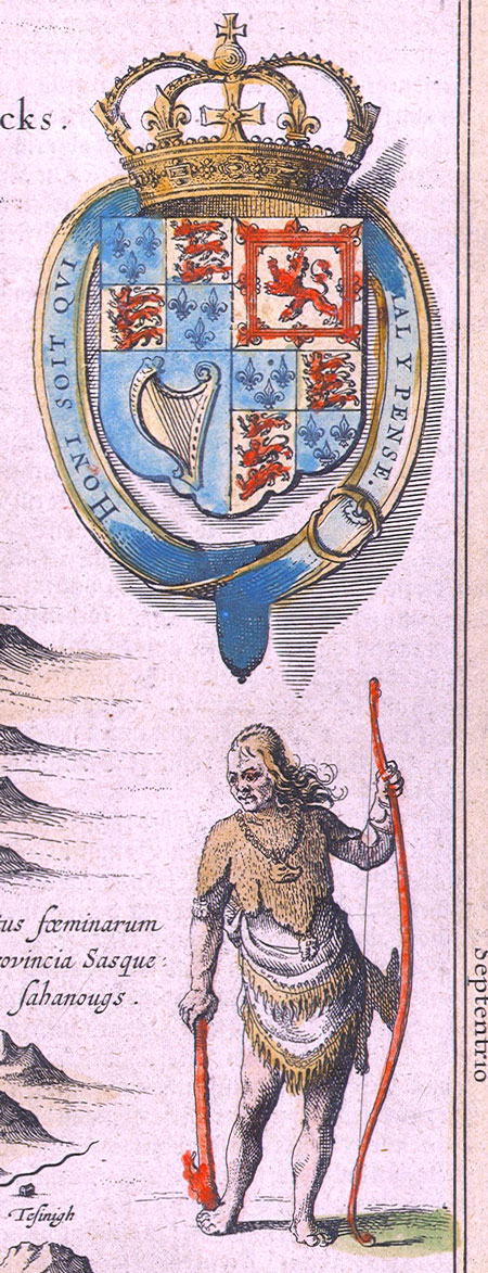
This rare map is Henricus Hondius' circa 1630 derivative of Captain John Smith's landmark 1612 map of Virginia. It is the only version of this famous map in which the Indian standing on the right, turns inward to face the Cheapeake.
Philip D. Burden, the author of The Mapping of America, described Nova Virginiae Tabula as "one of the most important maps of America ever produced and certainly one of the greatest influence."
Captain John Smith was was one of the settlers at Jamestown on the James River in Virginia, the first permanent settlement in North America.
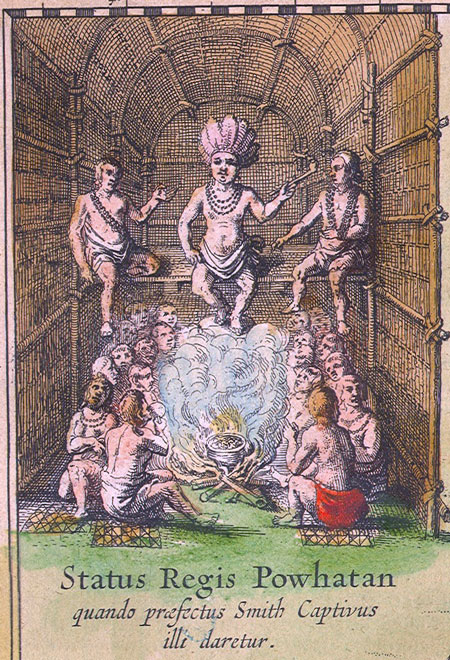
One of the most famous stories about Smith relates to his capture by Indian hunters and his trial before Chief Powhatan. Smith was convinced that the chief's 11 year-old daughter
Pocahontas was in someway responsible for his release.
John Smith eventually expored the region and drew a map in 1612. This map is Dutch mapmaker Henricus Hondius' derivativation of Smith's 1612 map.
The map features the British coat of arms, a depiction of a native Virginian, and in the upper left corner, the court of Powhatan, the father of Pocahontas.
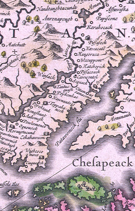
The Chesapeake Bay region is shown in fascinating detail with all the old native American place names.
Contact Village Antiques
for Prices or More Information |