|
Gerard Van Keulen
Map of Java
Insulae Javae pars Occidentalis edente Hadriano relando
Published in Amsterdam in 1727
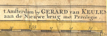
Amstendam by Gerard van Keulen aan de Nieuwe brug met Privilegie
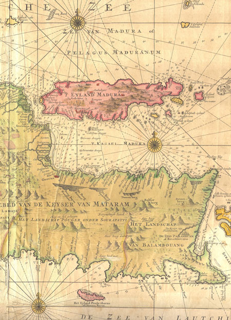
This is the right hand sheet of one of the finest maps of the island of Java ever made. The full double sheet map was printed as two separate engravings - Western and Eastern Java.
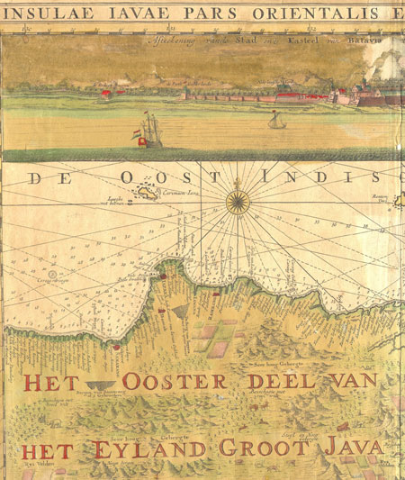
Across the top is an illustration of the major Dutch trading port of Batavia (now Jakarta, the capital of Indonesia).
A tip of the island of Bali can be seen on the far right.
The map includes fascinating llustrations of mountain ranges, the wildlife, temples and agriculture (rice fields).
Gerard Van Keulen
In 1678, Johannes Van Keulen founded a map making dynasty which would continue to operate in Amsterdam for 200 years. The Van Keulen family held an interest in the East India Company, and access to the firm's valuable files of cartographic information used by mariners traveling to the Indies.
Johannes son, Gerard van Keulen (1678 - ) - a talented engraver and mathemetician - took over from his father in 1714 and continued to expand the firm.
Condition: Sheet has age toning as shown (please enlarge for clear detail). There is a small hole at the center crease (at the surface of the water below the city of Batavia) and a patched area at the lower margin, just to the left of the center fold. Additional light damage in the Batavia illustrated area of the engraving.
Dimensions: 58 X 51.5 cm
Contact Village Antiques
for Prices or More Information |