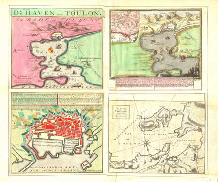
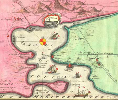
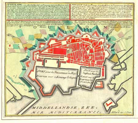
C. Allard: De Haven
van Toulon
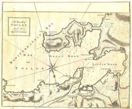
This map is in
fact a combination of four different maps. Two
(on the left) are by Carol Allard, one (top
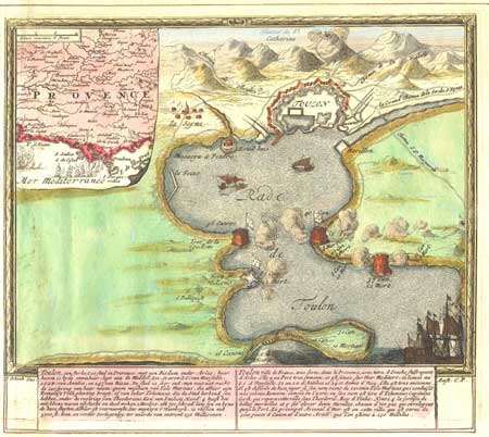
right) is by Pieter Schenk and the fourth -
the uncolored one (lower left) is by a British
mapmaker -- we are not certain who. It is entitled
"The Road of Toulon with the Adjacent Country."
All four are on old chainlinked paper and are
clearly period maps. Beyond that, it is a mystery
to us how these two beautiful maps came to be
joined into one large piece. The paper has been
skillfully joined in the back.
The overall effect is beautiful; each individual map is striking. The texts are
also interesting, giving the history of Toulon
in French and Dutch, and including details about
naval battles, navigation and even the number
of cannons at certain spots.
Text in Dutch. No text on reverse.
Condition: Very good. There is a 2 inch
tear in the sheet which can be seen in the image
just below the uncolored section of the map.
Dimensions: 23.5 X 20.5 inches
(Around 52 X 60 cm)