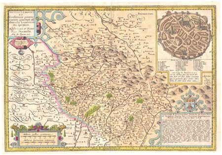
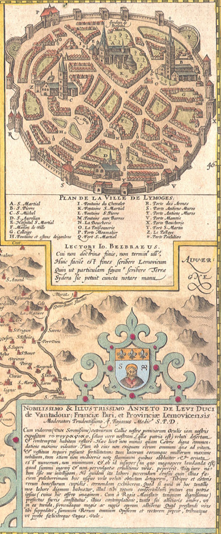
Limoges
Hendrikus Hondius circa 1630
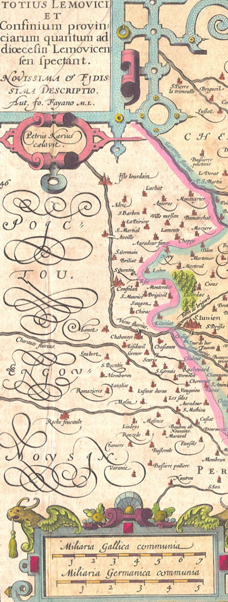
Totius Lemovici et Confinium provinciarum quantum addioecisin Lemovicensen spectant.
A map of the province of Limoges France by Antoin-Jean Fayen (Aut. Jo Fayano M.L.) with a nice inset detail of the town of Limoges in the upper right corner. Engraved by Peter Keere (Petrus Kaerius celavit.)
Beautiful copperplate engraved map on old chainlinked paper, handcolored.
Condition: Overall very attractive condition. Sheet is lightly age toned, with very light soiling. There are a few small tears in the margins.
Dimensions: 21 X 16.5 inches
Contact Village Antiques
for Prices or More Information
Some of the place names on this map:
Limoges
St. Iunien
Luebat, Anieres
Montagnier
Varelle
Noziers
Paliers
Chabnes
Tourdonnet
St. Mathieu
Roche Foucault
French Key words: Carte ancienne |