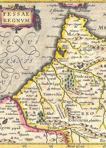
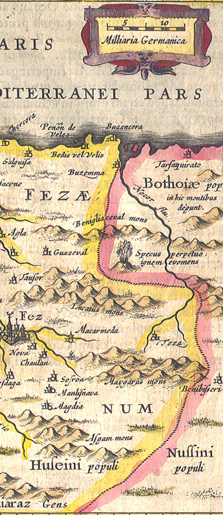
Fessae Regnum
Jansson - altas minor
A beautiful small handcolored map of Morocco and North Africa, showing the strait of Gibraltar and centered on the principlal city of Fez.
Copperplate engraving from Atlas Minor published by Jan Jansson in Amsterdam during the first part of the 17th Century.
Jansson's Atlas Minor was a reduced version of the Mercator. The Copperlate engravings for Altas Minor were done by Pieter van den Keere (Petrus Kaerius - 1571-1646) or Abraham Goos.
Original Latin text on reverse.
Old hand coloring.
Some place names on this map (many with old spellings): Ceruta, Tanger (Tangiers), Teniesna, Zenetae, Xauyi, Zuga, Tamechia, Podeazag etc...
Dimensions: 22 X 17 cm
Contact Village Antiques
for Prices or More Information
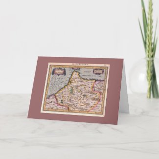
Reproductions of this map can also be purchased as a greeting card or poster from the Antique Images Zazzle Shop.
|