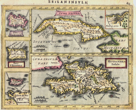
Cuba Insula from
Jansson's Atlas Minor
Antique map of the Caribbean Islands.
Copperplate engraving from a miniature edition of the Mercator Atlas.
The islands of Cuba and Hispaniola (Haiti, Dominica) are shown along with four insets showing the port of Havana, Jamaica, Puerto Rico and Margarita.
Copperplate engraving from Atlas Minor published by Jan Jansson in Amsterdam during the first part of the 17th Century.
Jansson's Atlas Minor was a reduced version of the Mercator. The Copperlate engravings for Altas Minor were done by Pieter van den Keere (Petrus Kaerius - 1571-1646) or Abraham Goos.
Published in Amsterdam, around 1620
Text in Latin on back of sheet.
This unusual map includes a notable error. The title above the image is"Zeilaninsula" or "Island of Ceylon" and the text on the back refers to Ceylon and not to the Caribbean islands.
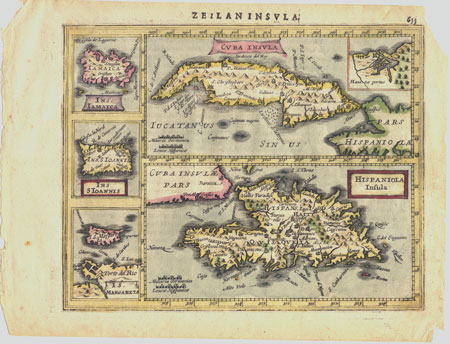
Condition: Good - Light age toning. Corners are torn as shown in second image.
Sheet measures 9 X 7 inches
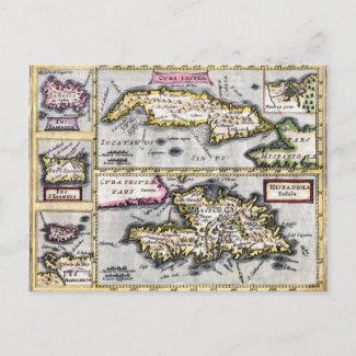
The original map as shown here is available for purchase from Village Antiques. Contact us for prices or more information.
It is also possible to purchase this image as a postcard, greeting card or poster from our Zazzle shop.