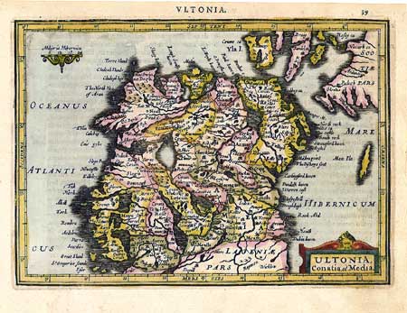
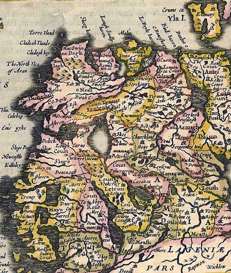
Ultonia Conatia,
et Media
Copperplate engraving by Peter Kaerius (P.Van
Den Keere, 1571-1646).
Published in Amsterdam, around 1620
Text in Latin on back of sheet
Beautiful handcolored antique map showing northern
Ireland
Light age toning and spotting. Slightly rough
margins.
Condition: Good
Sheet measures 9 X 5 inches
(Full sheet not shown -- additional one inch
margins on bottom and left.