|
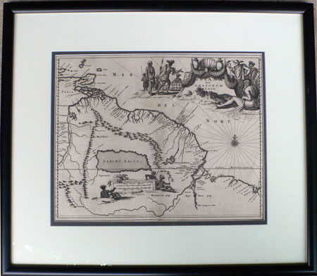
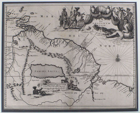
Arnold Montanus
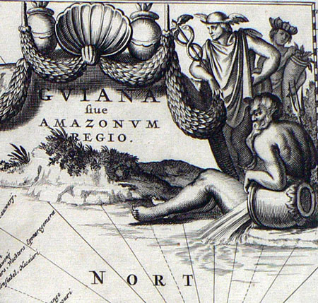
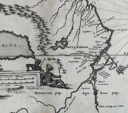
Guiana sive Amazonum Regio
A striking and handsomely framed 1671 map of Guiana and the mouth of the Amazon from John Ogilby's " Complete History of America."
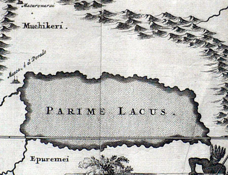
Centered on the legendary El Dorado and Parime Lacus
The map depicts the coast between the Orinoco river and the Amazon and features a decorative cartouche, compass rose, and depictions of indigenous people in native dress. The map extends west to Trinidad and Margarita Island and includes the mythical places Parime Lacus and El Dorado.
The area of South America's coast covered includes parts of today's Brazil, Suriname, Guyana, French Guiana and Trinidad and Tobago.
Condition: central vertical fold, light discoloration, several old creases. Attractively framed and ready to hang.
Dimensions: 285 x 360mm
Arnold Montanus, also known as Arnoldus Montanus was born Arnold van den Berghe in Amsterdam in 1625 and became a historian and theologian.
Contact Village Antiques
for Prices or More Information |